We took the scenic route from Sault Ste. Marie to Whitefish Point on a road hugging Whitefish Bay. This part of the Upper Peninsula is very remote, and we were almost alone out here.
Point Iroquois Lighthouse
Of the 550 known major shipwrecks lying on the bottom of Lake Superior, at least 240 of them lie along a treacherous 80-mile stretch of shoreline extending from Whitefish Point to Munising known as Lake Superior's Shipwreck Coast. The Great Lakes Shipwreck Museum is located at Whitefish Point, on the grounds of a former Coast Guard Station.
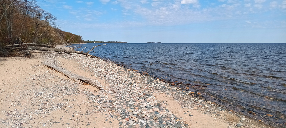
Shipwreck Coast at Whitefish Point
Average temp of Lake Superior: 40 degrees Fahrenheit
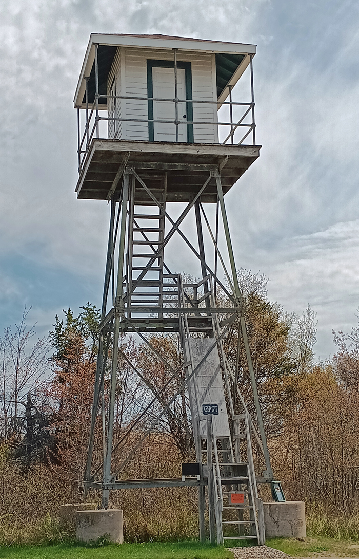
U.S. Coast Guard lookout tower
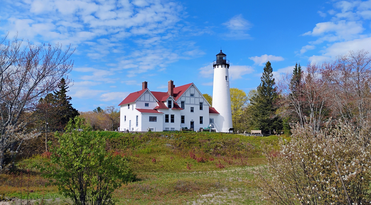
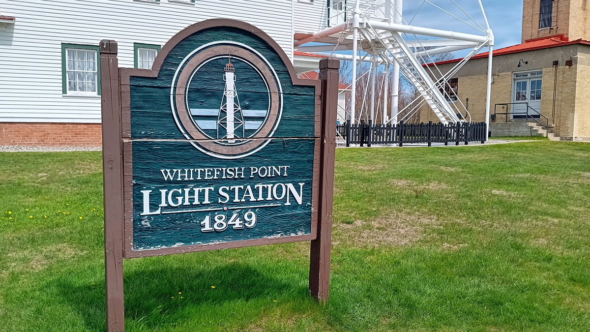
The Whitefish Point Light Tower has been in continuous operation since 1861 and is the oldest operating lighthouse on Lake Superior. The light is now automated, but you can tour the old lighthouse keeper's quarters as part of the museum.
Great Lakes Shipwreck Museum
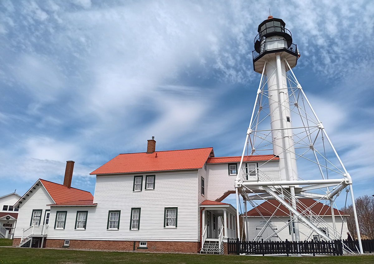
Whitefish Point Light Tower and lighthouse keeper's quarters
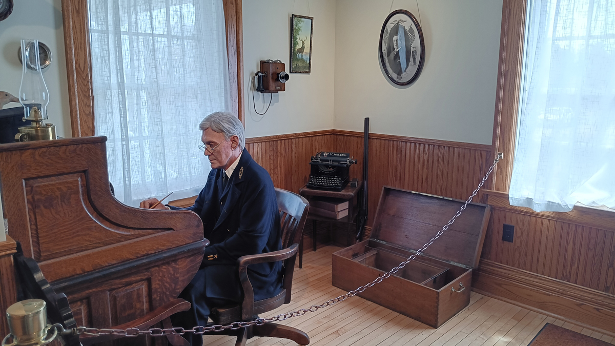
Hauntingly lifelike wax figure
One of the more interesting museum exhibits honors the U.S. Life-Saving Service, a precursor to the Coast Guard, dedicated to saving the lives of shipwrecked mariners and passengers. These efforts were almost entirely launched from shore, recognizing that only small boats stood a chance of assisting those stranded close to the beach, as any responding ship would risk running aground itself. It was difficult, dangerous, and distressing work.
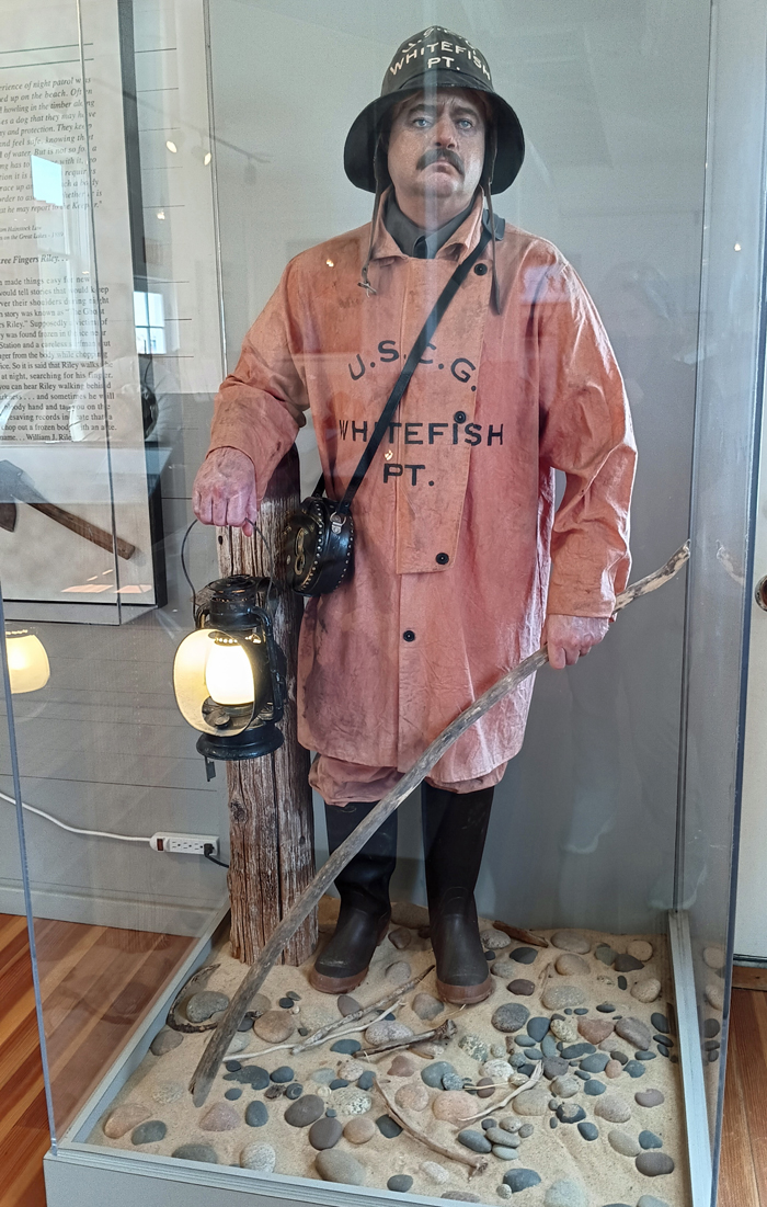
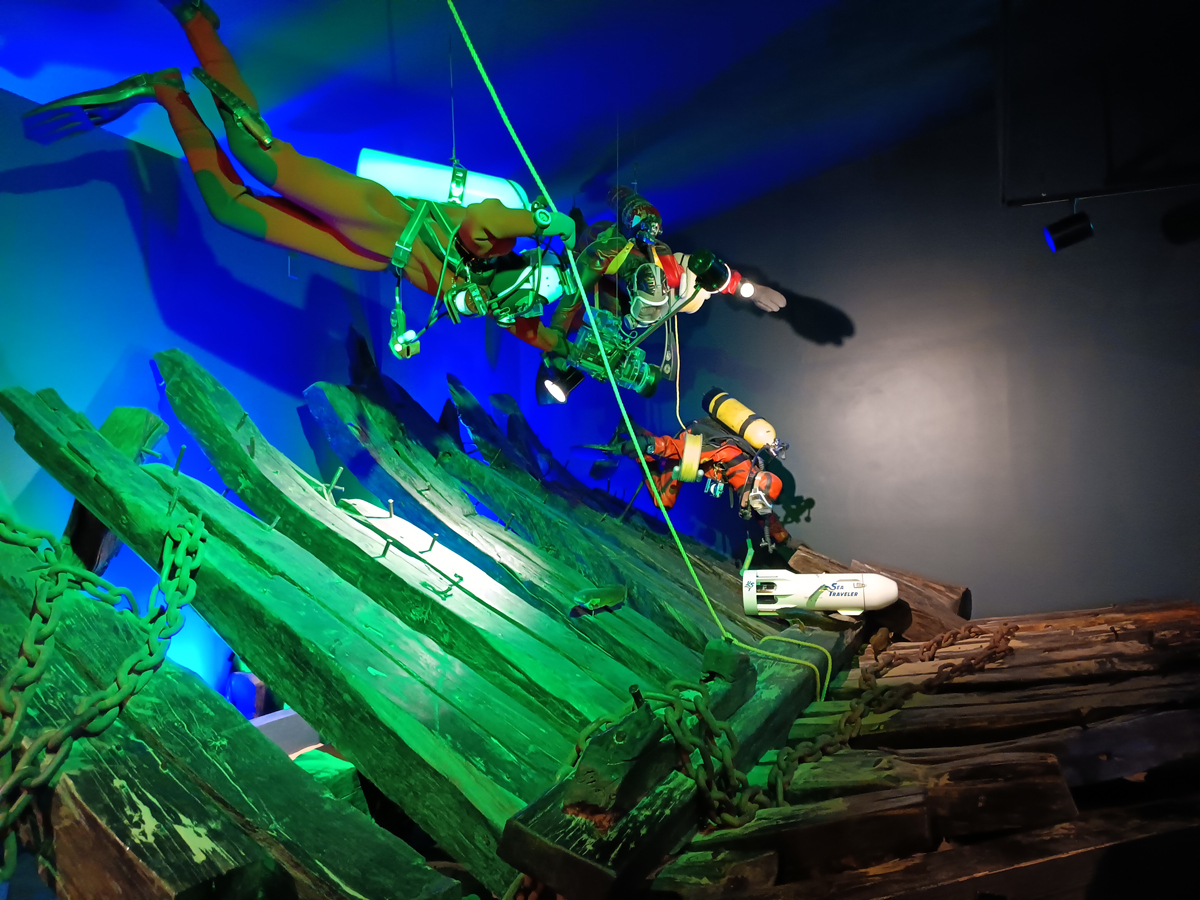
Searching for shipwreck victims
In November 1975, the freighter SS Edmund Fitzgerald sank 17 miles north of Whitefish Point in 535 feet of water, with the loss of all 29 crew members. A moving video tells the story of the 1995 raising of the ship's bell, at the request of the families of the lost crew. A replica bell inscribed with the names of the 29 crewmen was lowered in its place as a permanent grave marker. The 729-foot-long “Big Fitz” remains the largest ship ever lost in the Great Lakes.
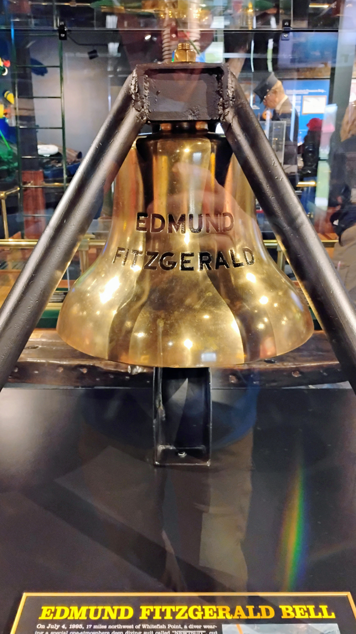
Actual bell retrieved from the lake bottom
The Edmund Fitzgerald's 200-pound bronze bell is now located within the museum, along with artifacts and information regarding other tragic shipwrecks. We were surprised how many of the wrecks were the result of collisions rather than storms. Be more careful!
Hull of the steamship SS Independence, sunk when its boilers exploded
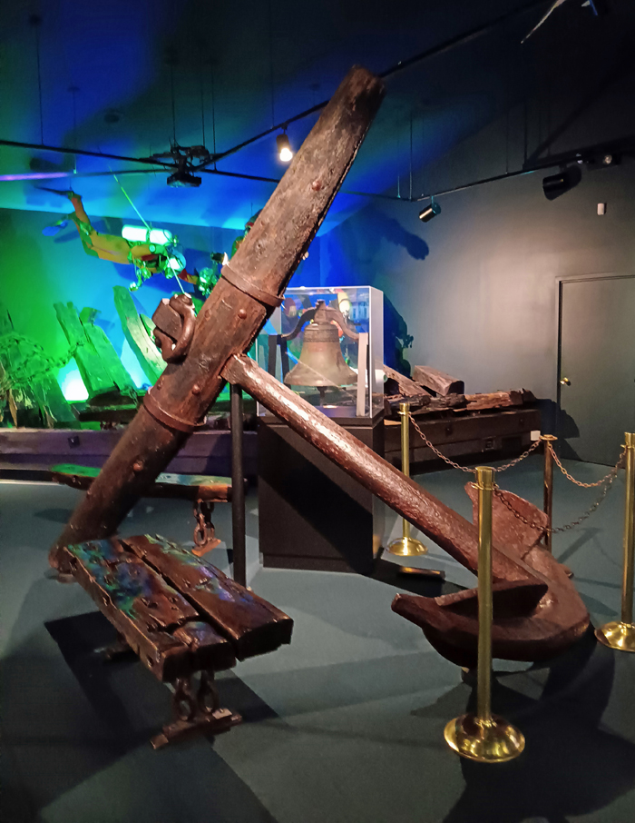
Recovered anchor
Later in the afternoon, we hiked a couple of nice trails at Tahquamenon Falls State Park. The Lower Falls Bridge Loop Trail is 1.75 miles, and the Upper Falls Trail a mile or so. The park also has a brewery, but darn it, we didn't have time!
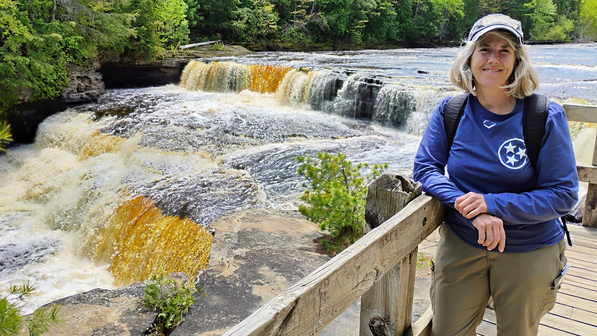
Jana at Lower Tahquamenon Falls
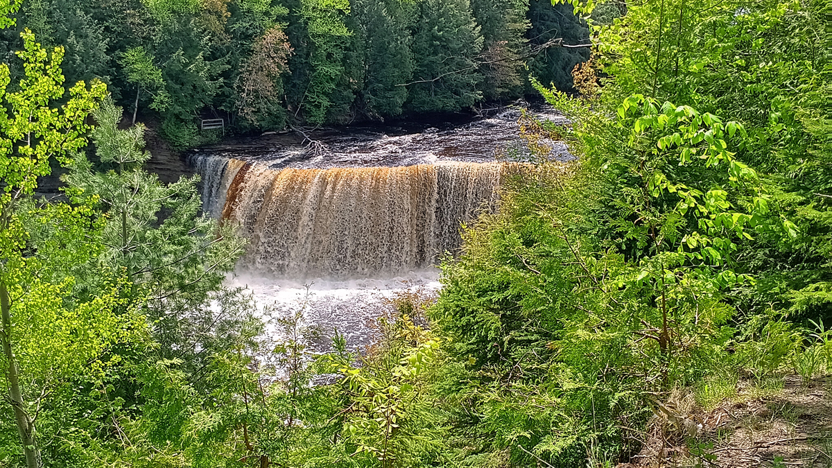
Upper Tahquamenon Falls
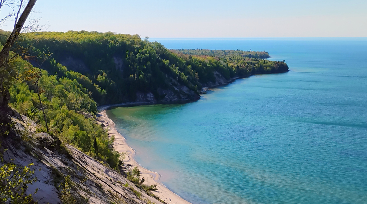
After a nerve-wracking, Google-led drive that had us white-knuckling it down 15 miles of sandy dirt roads in the Buick, we popped back out on pavement and entered Pictured Rocks National Lakeshore, a beautiful stretch of Lake Michigan's coast best seen from the water, but the views from land were awesome as well.
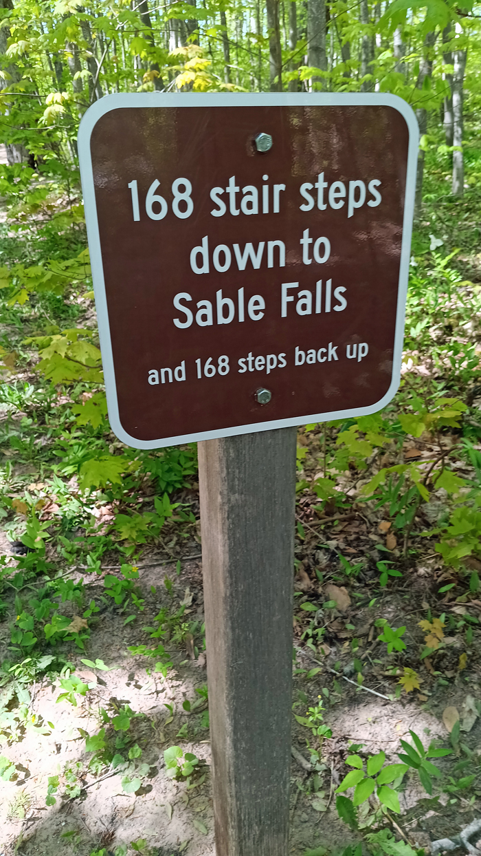
The Sable Falls Trail was short but sweet, .75 of a mile to see a lovely 75-foot waterfall. Past the waterfall, the trail leads along Sable Creek to its exit into Lake Michigan at a rocky beach with views of the Grand Sable Dunes.
The second part seems obvious
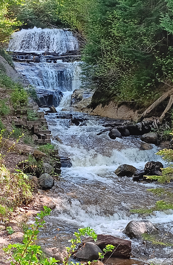
Sable Falls
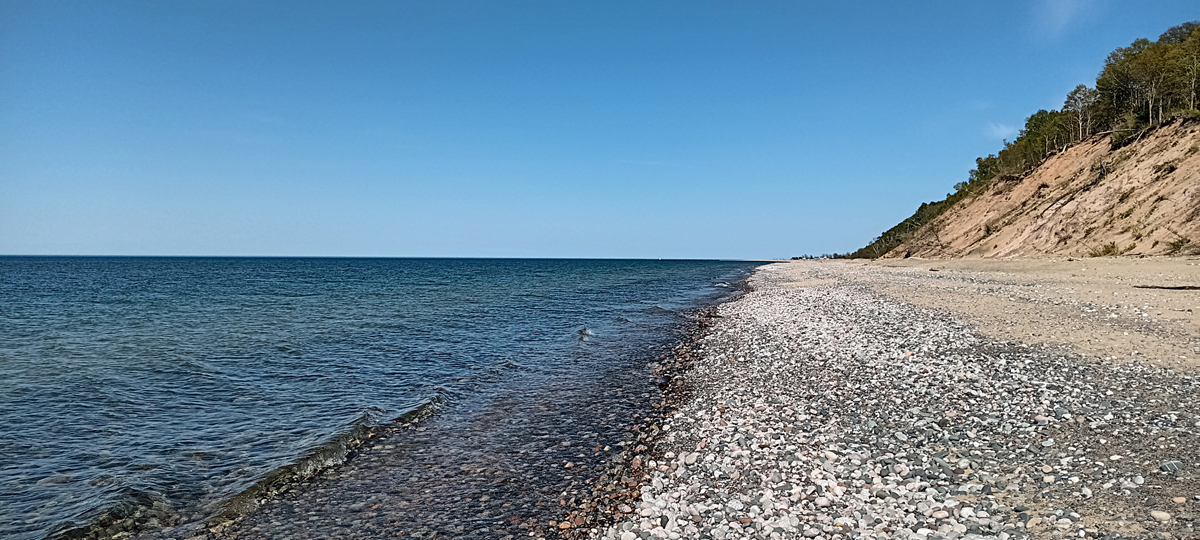
Sable Beach
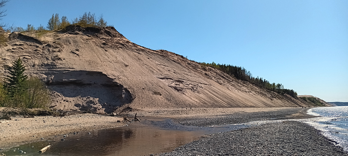
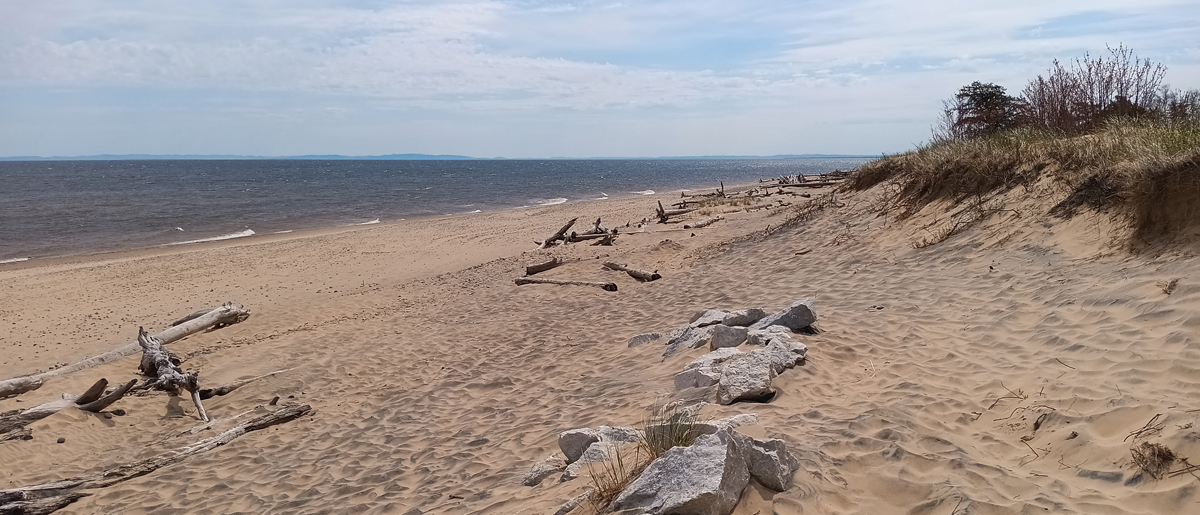
Grand Sable Dunes
We almost skipped the Log Slide Trail – kind of a boring name – but at just half a mile, why not? The views from the overlook were amazing! Glad we went for it. Shifting sands during the winter had covered a snowdrift on the trail, and someone dug down and exposed some remaining snow that had been insulated by the sand. Snow in May?!? Whoa!
Log Slide Overlook, northwest view
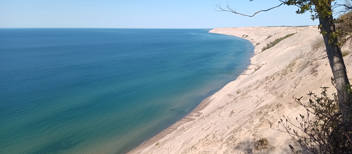
Log Slide Overlook, east view
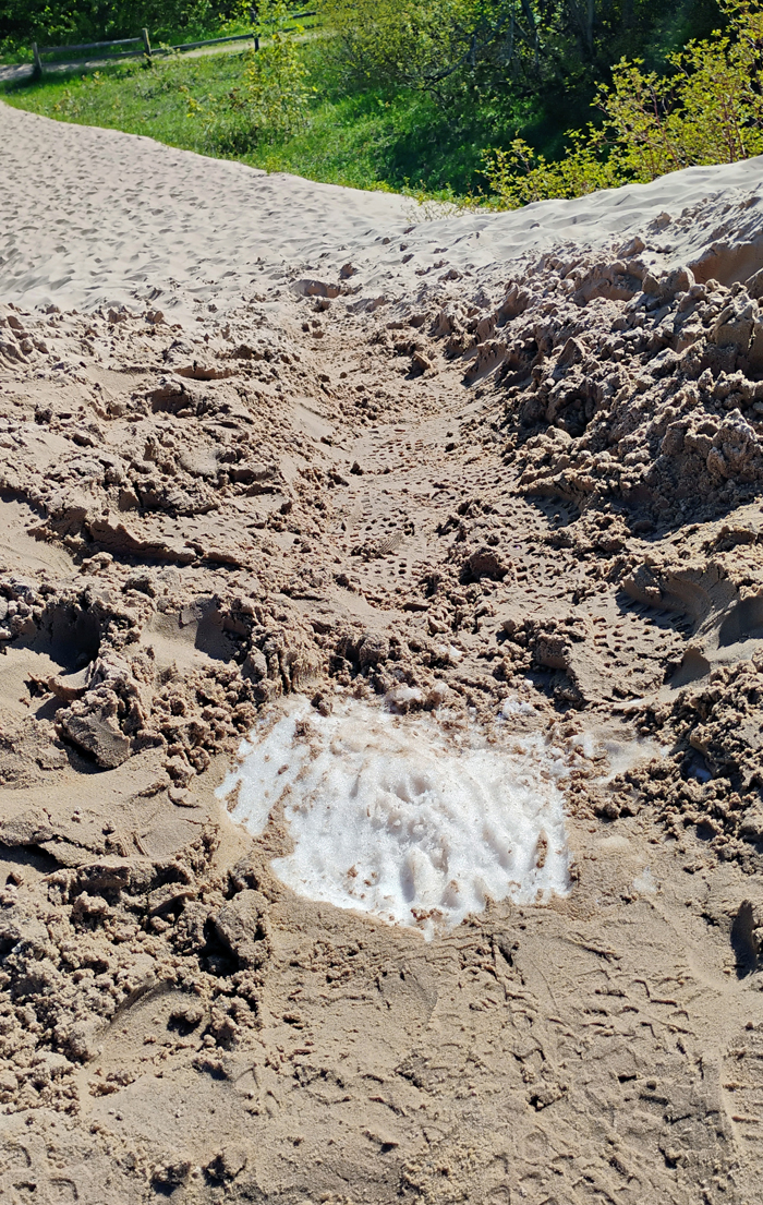
Snow!
Dinner: Eh! Burger in Munising, MI, delicious and fast. It looks like a chain but it's not. We sat outside. The weather was gorgeous!
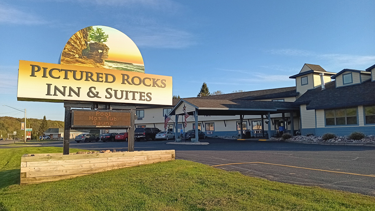
Lodging: Pictured Rocks Inn & Suites, Munising, MI, for two nights. Large room, super clean and comfortable. This also looks like a chain but isn't. Score!
Nice hotel in Munising