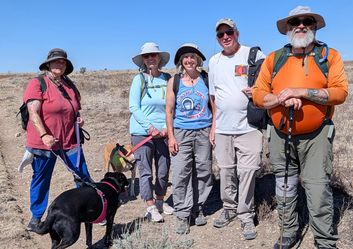
The highest point in Oklahoma is found atop Black Mesa, in the far northwestern corner of the panhandle, close to the borders of New Mexico and Colorado. The Black Mesa Summit Trail is 8.4 miles round trip, and the whole gang came along for the long hike.
Mooney, Jamie, Jana, Tom, Brian, and dogs Lil Dude and Pip
From the campground in Black Mesa State Park, it's a 15-mile drive to the trailhead in the Black Mesa Nature Preserve. There's very little shade along the trail, so we tried to get an early start, which for us meant getting on the trail around 8:30. Luckily, the high was only in the 70s today, but there wasn't a cloud in the sky, and the sun was brutal.
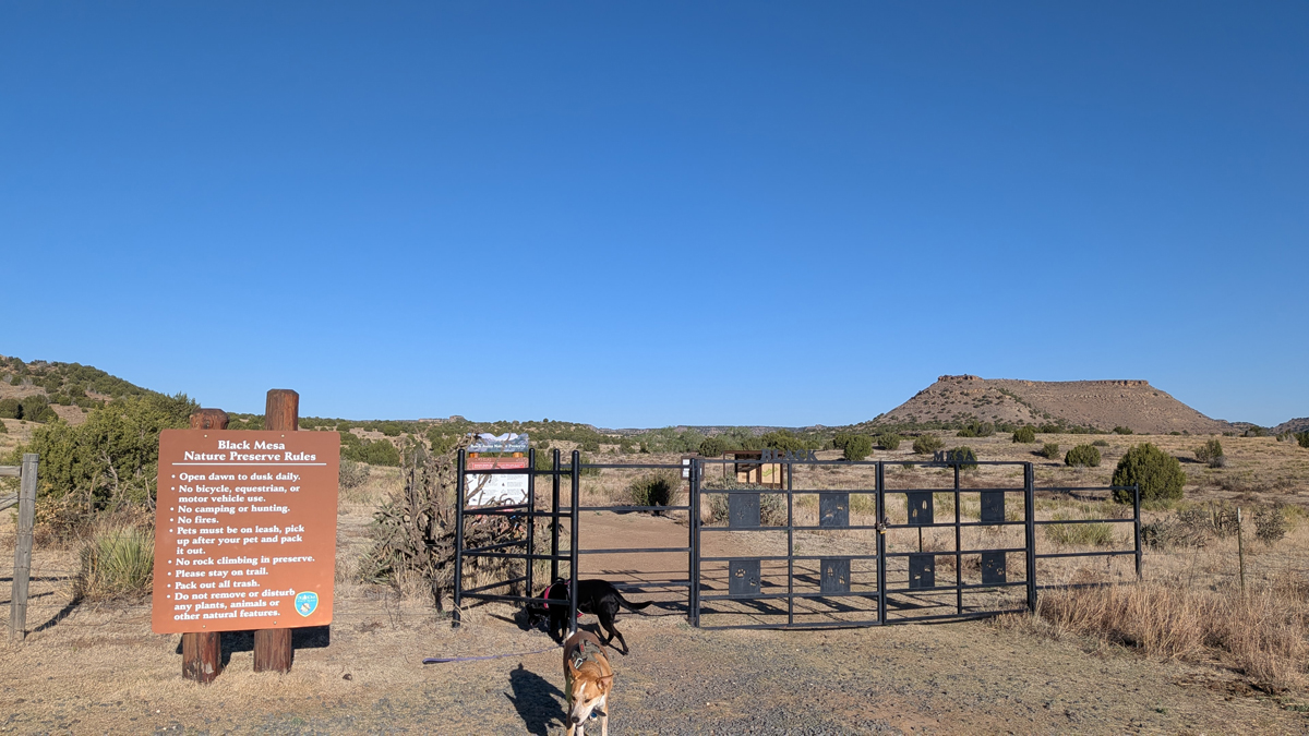
Black Mesa Summit trailhead
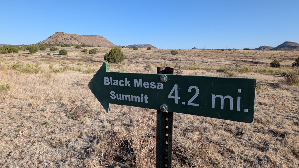
One-way mileage, shortest route
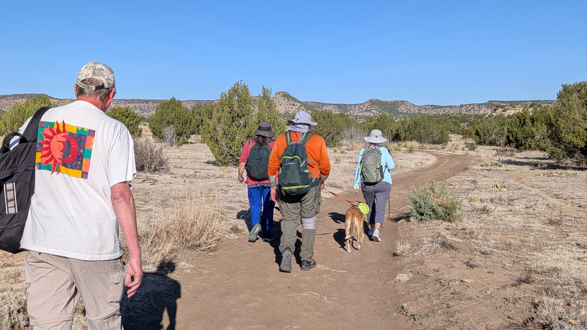
And away we go...
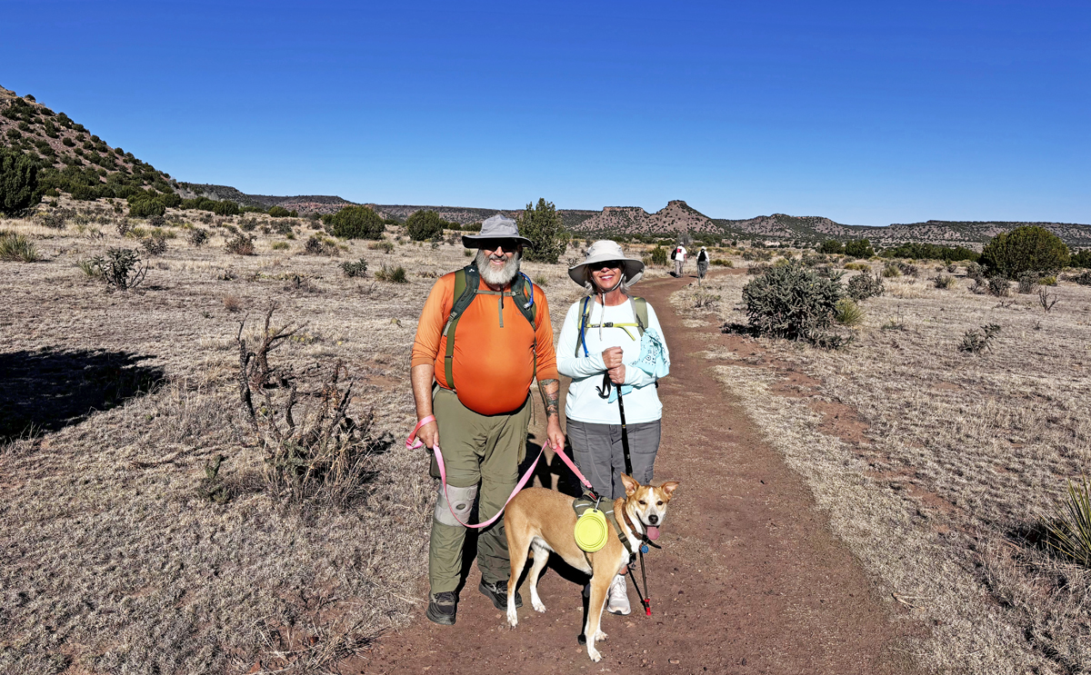
Brian, Jamie and Pip on the trail
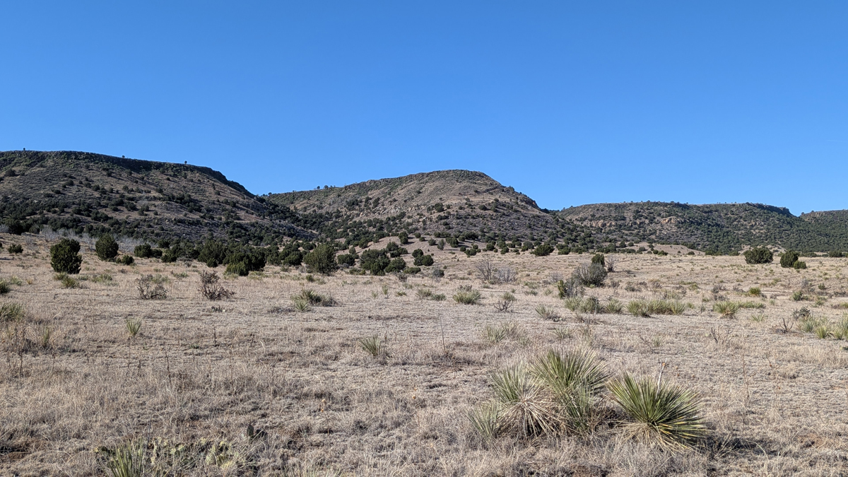
Black Mesa
There are several benches along the trail, some serving as mile markers – nice touch, Oklahoma! A couple of the benches are covered, providing almost the only shade along the way. Just past mile 2 is a wooden box that usually contains a small amount emergency water, but I wouldn't bet my life on it!
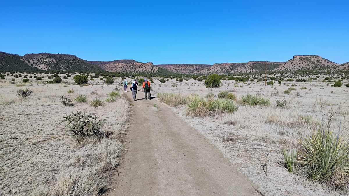
Not a cloud in the sky
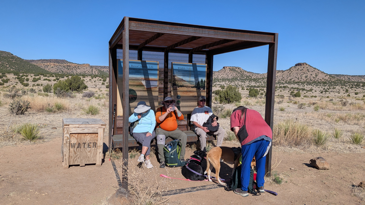
Under cover but still no shade!
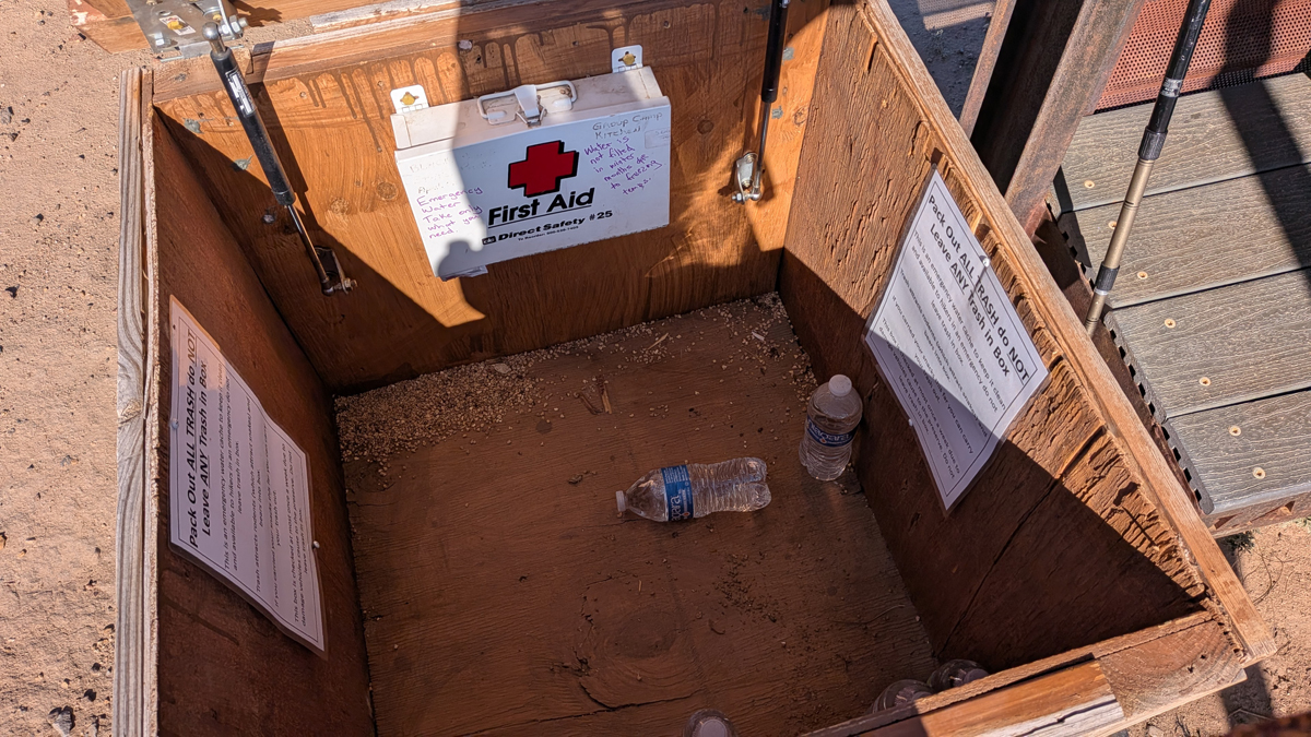
Scant emergency water
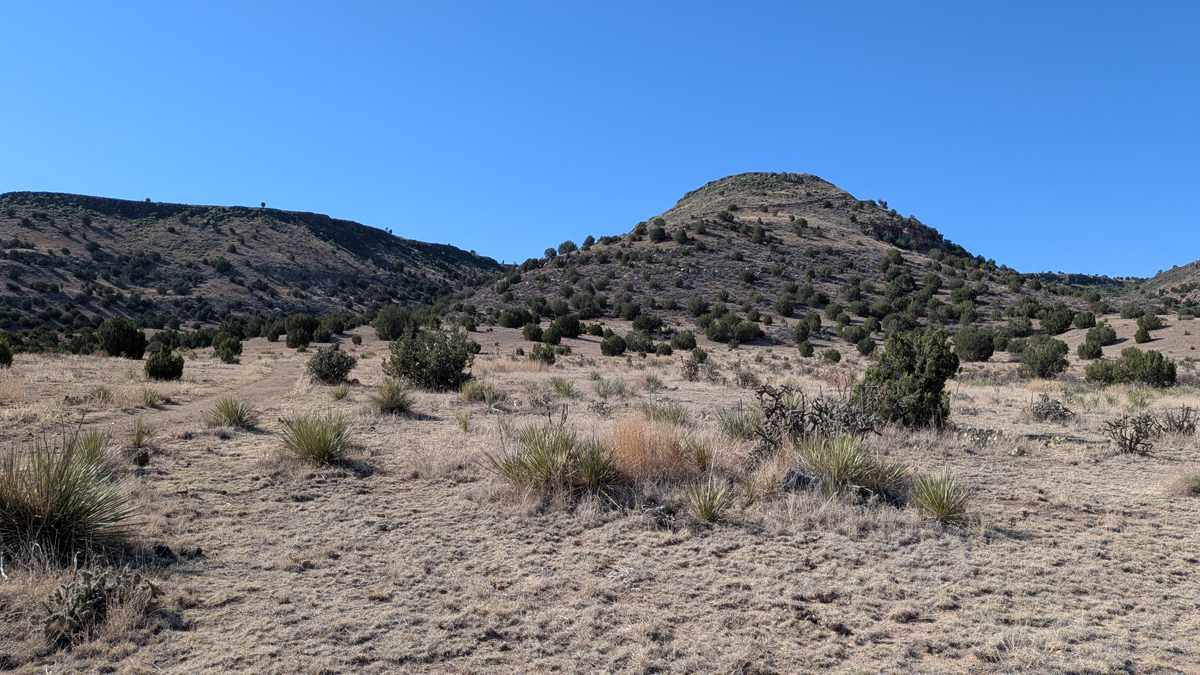
Here comes the steep part
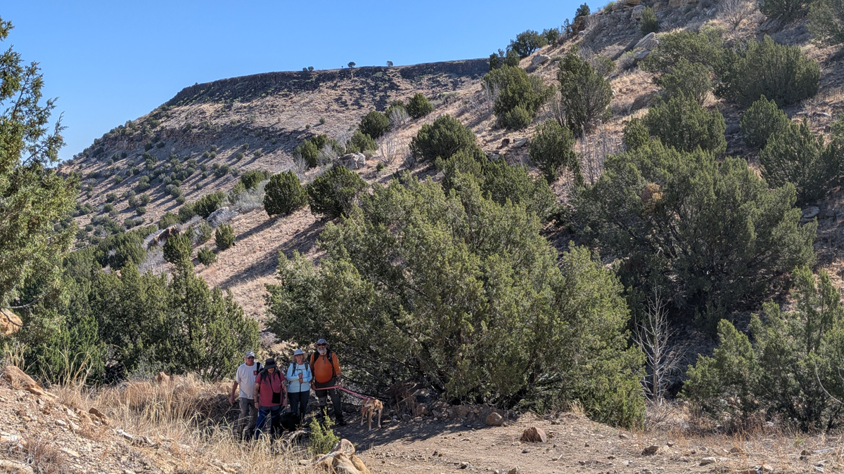
Halfway up the hill
The Black Mesa Summit Trail is basically an old jeep road that's been restricted to hikers only. The first two and a half miles are pretty flat, then comes a steep .6-mile stretch that gains 670 feet in elevation as you ascend the mesa, then it's mostly flat again for the last mile-plus to the high point. It seems pointless to have the trailhead so far from the mesa when they could have made the hike five miles shorter, but I guess they were trying to keep out the riffraff. Here we are anyway!
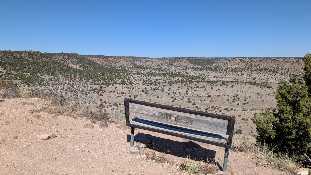
Almost to the mesa top
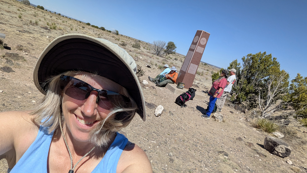
After a long trek across open country, we finally reached the highest point in Oklahoma, Black Mesa, at an altitude of 4,973 feet! This was Jana and Tom's 38th and final state high point. We had saved Jana's home state for last and timed it to coincide with our 26th anniversary. It was great to have family and friends join us for the end of our high-point journey!
Black Mesa, Oklahoma, 4,973 feet
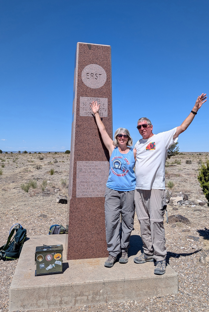
Jana and Tom's state high point #38
Obligatory selfie at the top
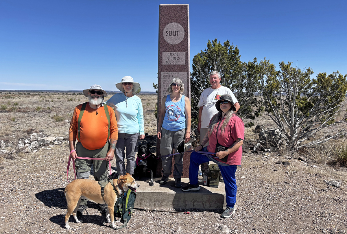
Brian, Jamie, Jana, Tom, Mooney, Pip and Lil Dude
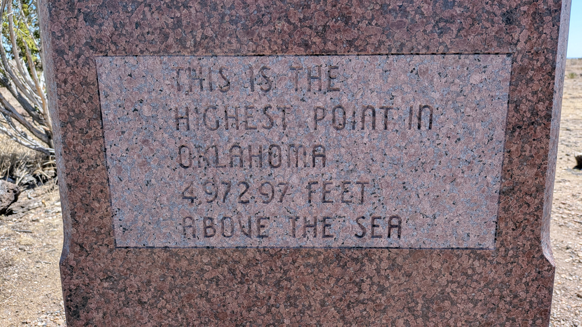
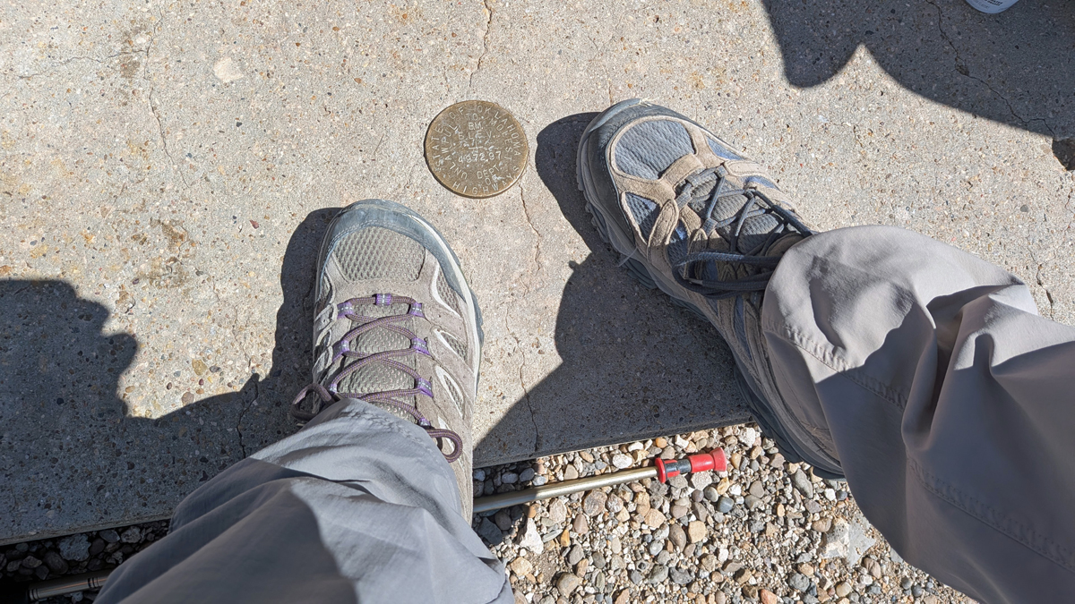
4,972.97 feet, if you want to be picky about it
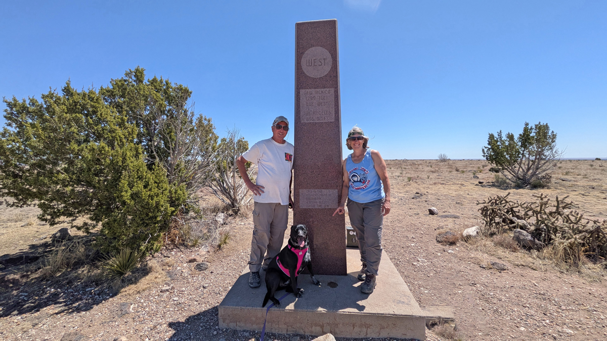
Lil Dude photobomb!
From the high-point monument, you can follow a vague trail south for less than half a mile to a great overlook on the edge of the mesa. This bumps the 8.4-mile hike up to 9.2 miles, but it's worth it! Besides, it's a good place for a picnic.
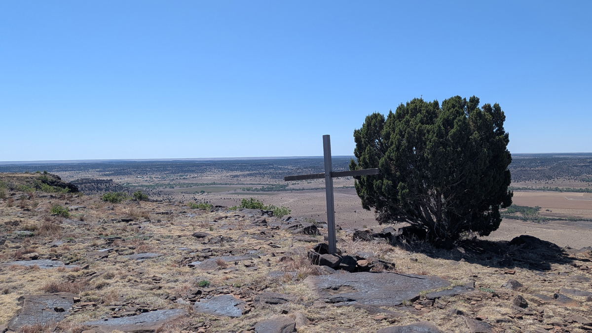
Did someone fall off the edge of the mesa?
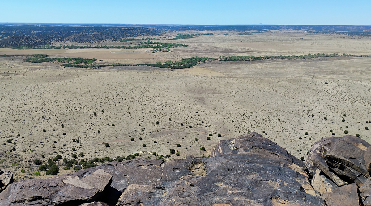
View of the Oklahoma Panhandle and into New Mexico
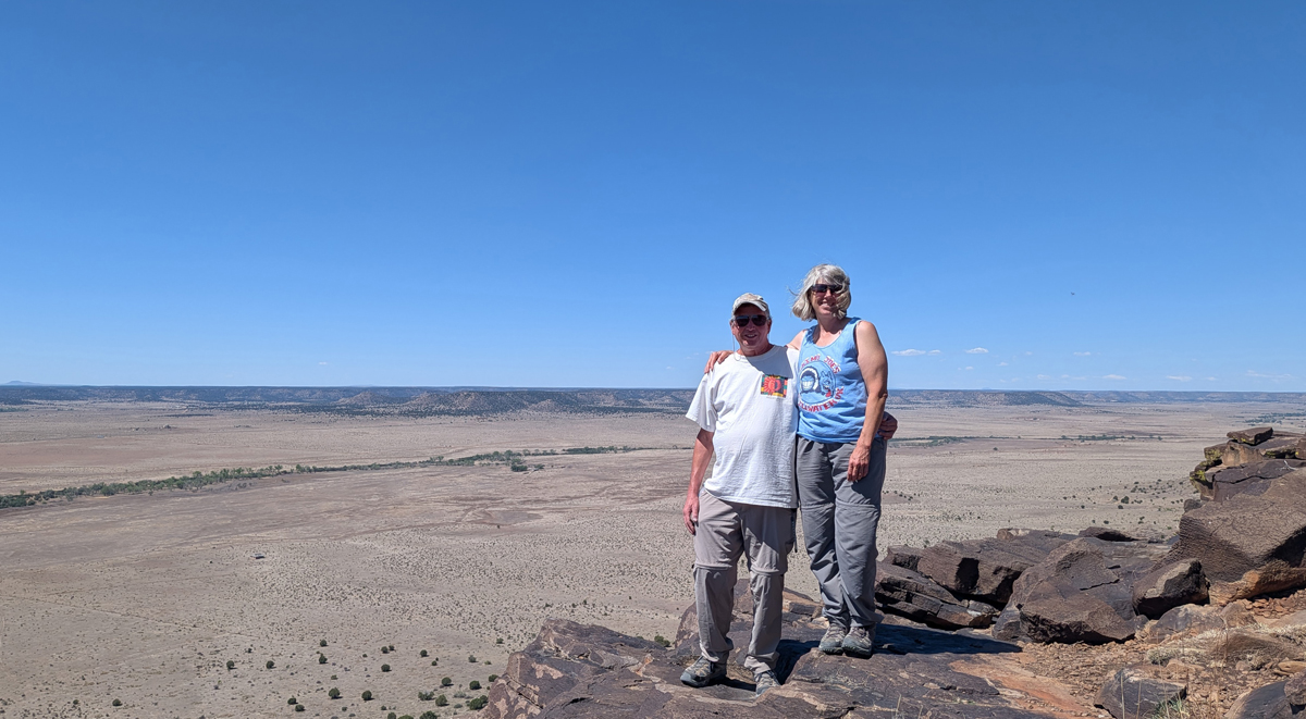
Tom and Jana on the edge of forever
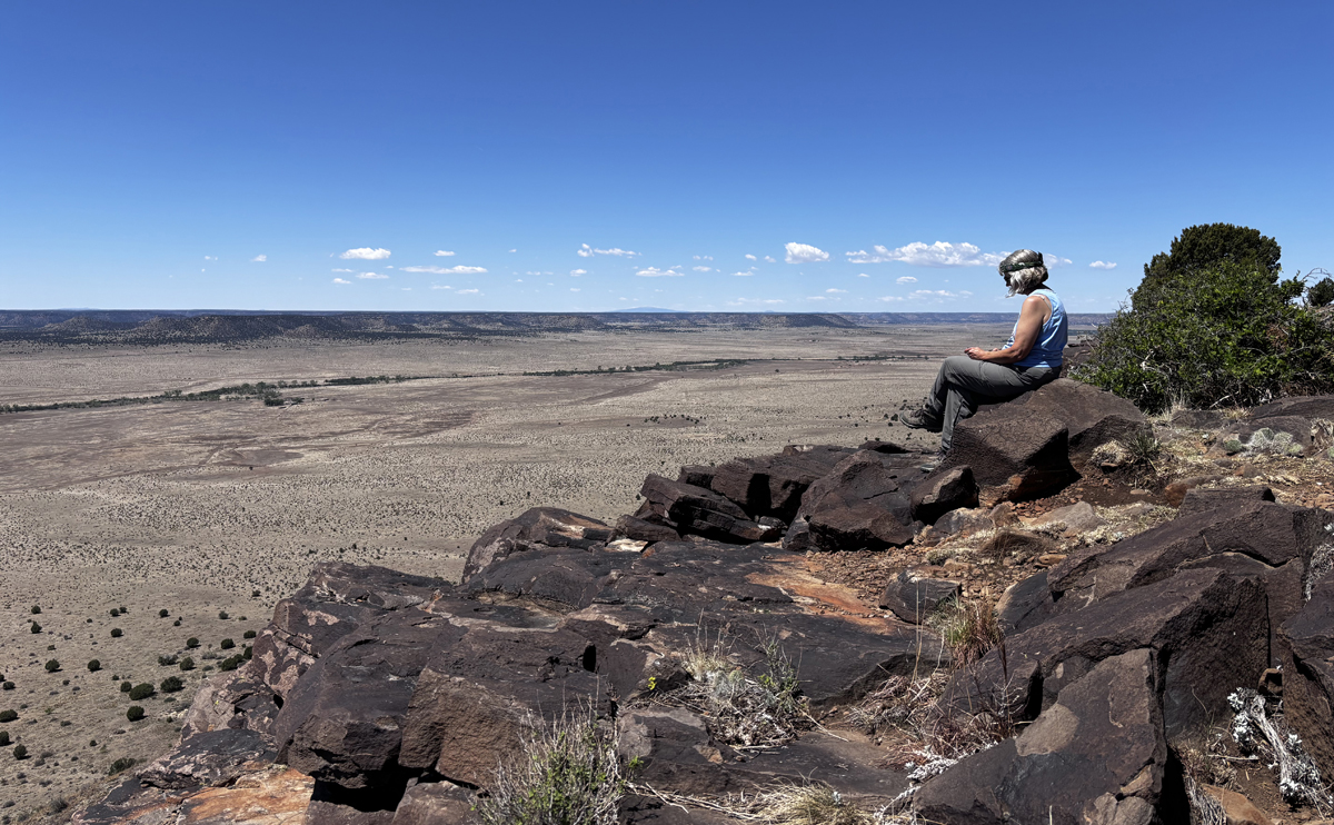
Jana contemplates life, the universe, and everything
The return trip seemed twice as far as the hike out, with tired legs, sore feet, and even less shade. Lil Dude in particular had lost his enthusiasm for the outing and was basically walking from shady spot to shady spot and stopping. Eventually, we all made it back to our vehicles. Elapsed time on the trail was six hours and 20 minutes, including a long stay at the top. Not too shabby.
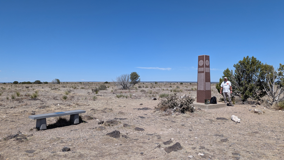
Highest guy in Oklahoma
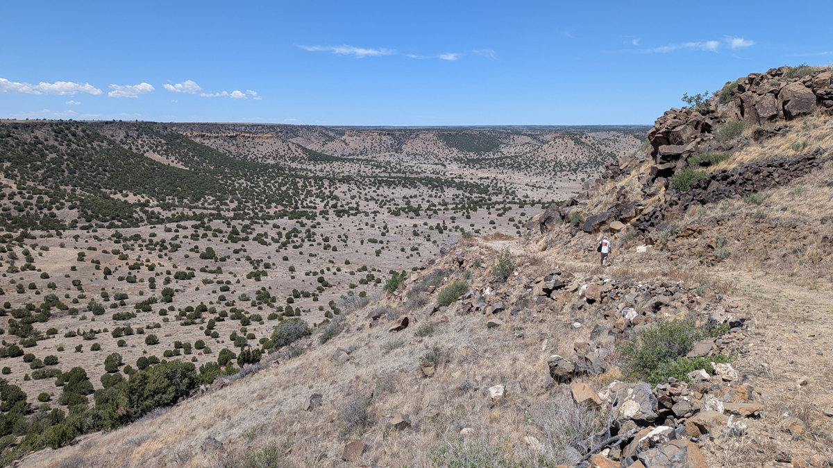
Starting down the mesa
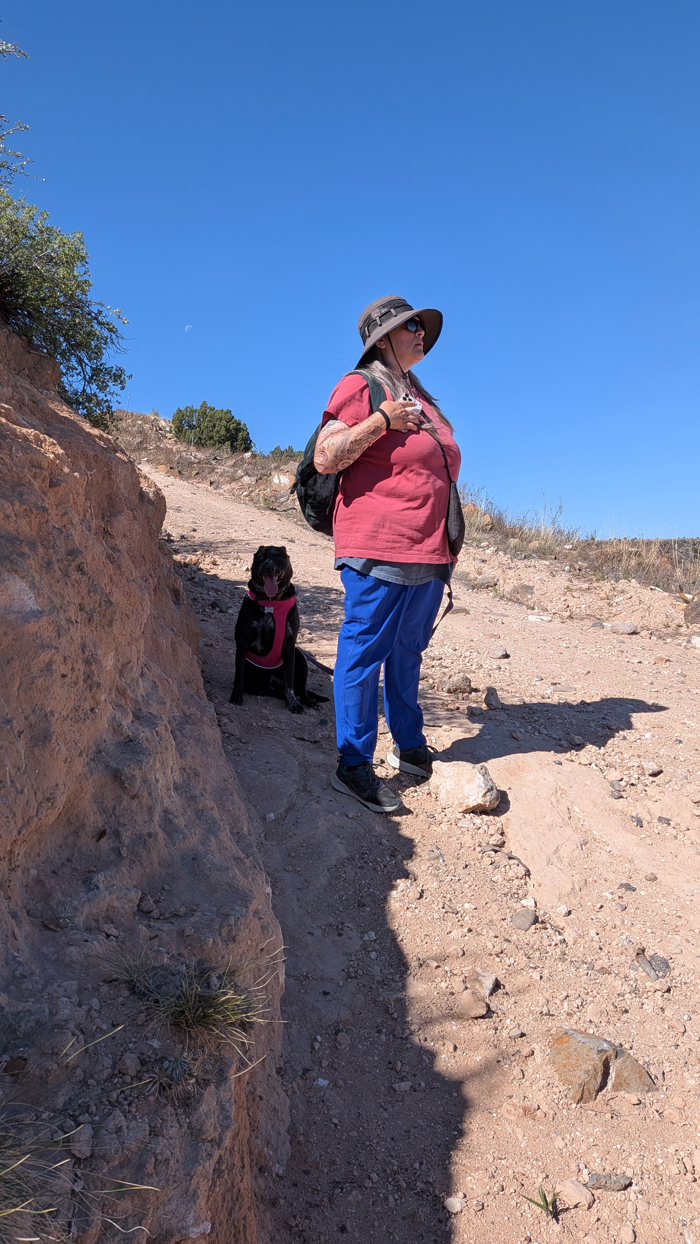
Lil Due takes a shade break
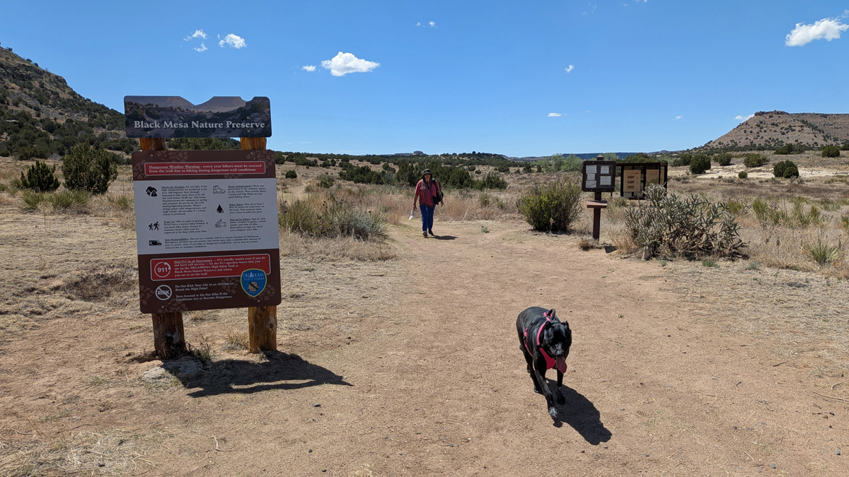
Mooney and Lil Dude back at the trailhead
Thank goodness for the showers at our campground – very refreshing! In the evening, Jamie heated up homemade jambalaya that she and Brian had prepared at home. It was another nice, clear night for stargazing.
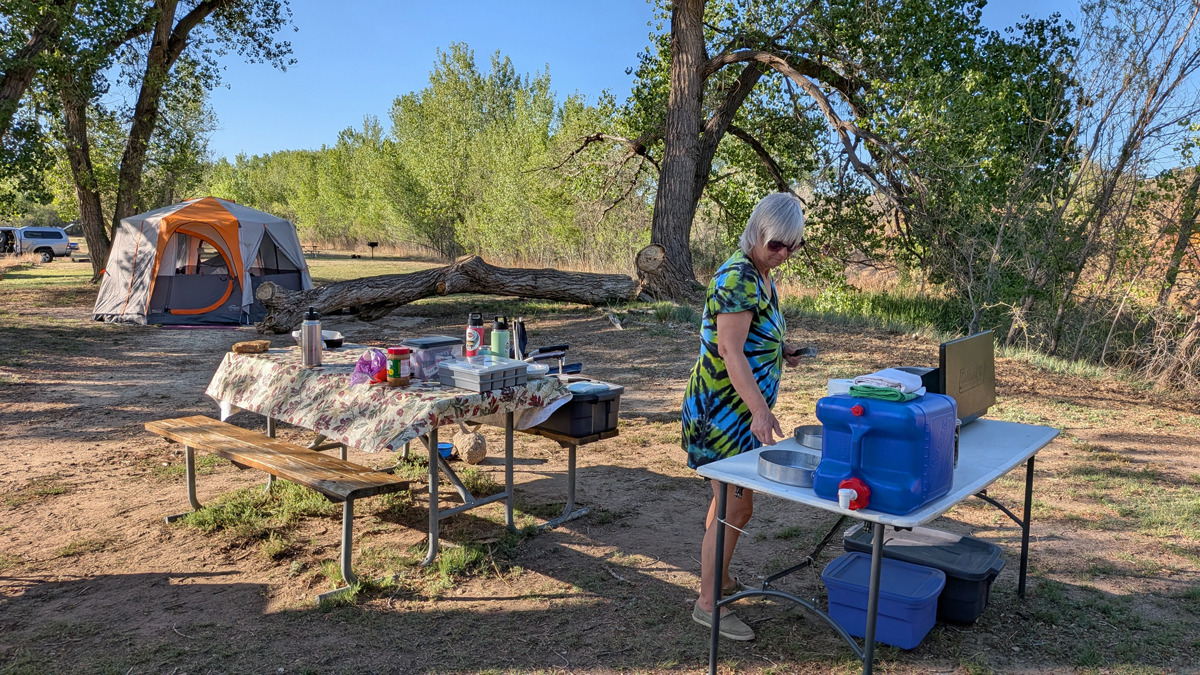
Jamie makes jambalaya