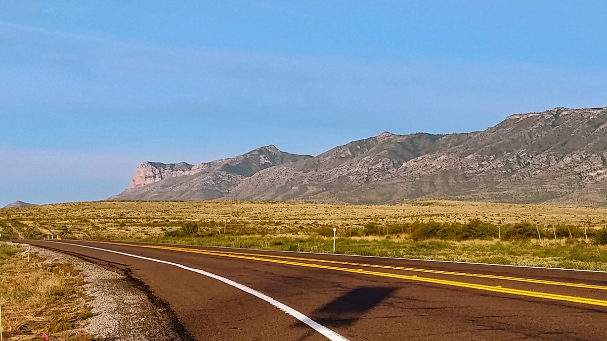
The Guadalupe Mountains stretch across West Texas into southeastern New Mexico. Guadalupe Peak, at 8,751 feet, is the highest point in Texas and the reason we've spent the last four days driving west. The trail to the top is 8.5 miles round trip, with a daunting 3,000-foot elevation gain. It's going to be a long day.
Guadalupe Mountains
Wanting to hit the trail early, we left our hotel in Whites City, NM, at 6:15 a.m., arriving at Guadalupe Mountains National Park just before 7:00. Luckily, we snagged one of the last parking spots at the trailhead. Having to park in the overflow lot would have added almost a mile to our hike. No, thanks!
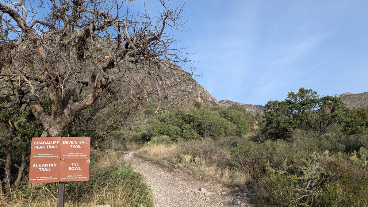
Guadalupe Peak trailhead
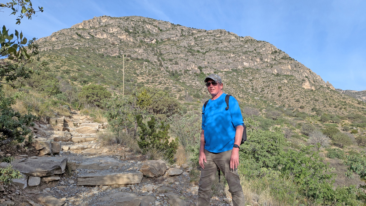
And so we begin
The Guadalupe Peak Trail is rocky and strenuous, with a steep pitch that tested our endurance the entire way up. It didn't take long to leave the parking lot far below. The views along the way are incredible – gnarled trees, dramatic mountains, and sprawling desert as far as the eye can see.
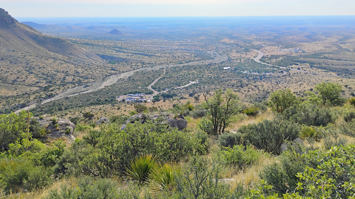
View of distant parking lot after half an hour
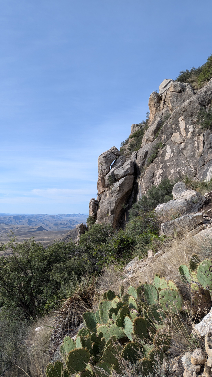
Cliff and cactus
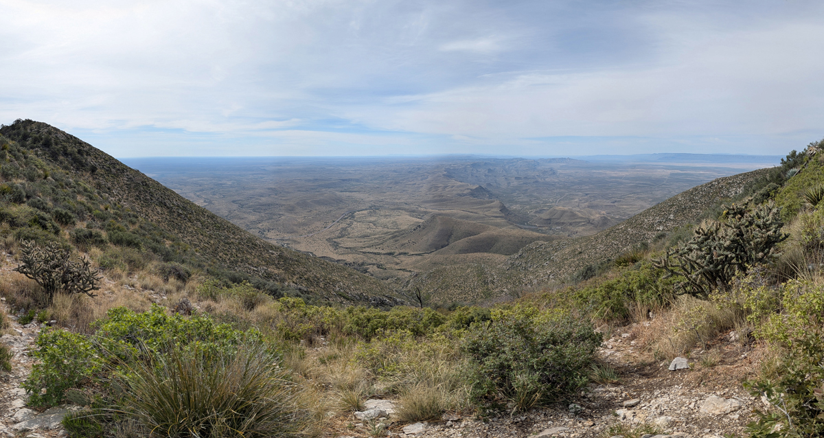
Vast desert
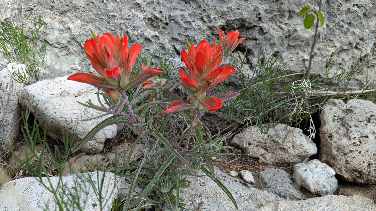
Indian paintbrush
Three-quarters of the way up, the trail crosses a wooden bridge, signaling there's just over a mile left to the summit. Then there's a long section of trail along the edge of a cliff. About five minutes from the top, you round a bend and are met with a gorgeous view of the back side of El Capitan.
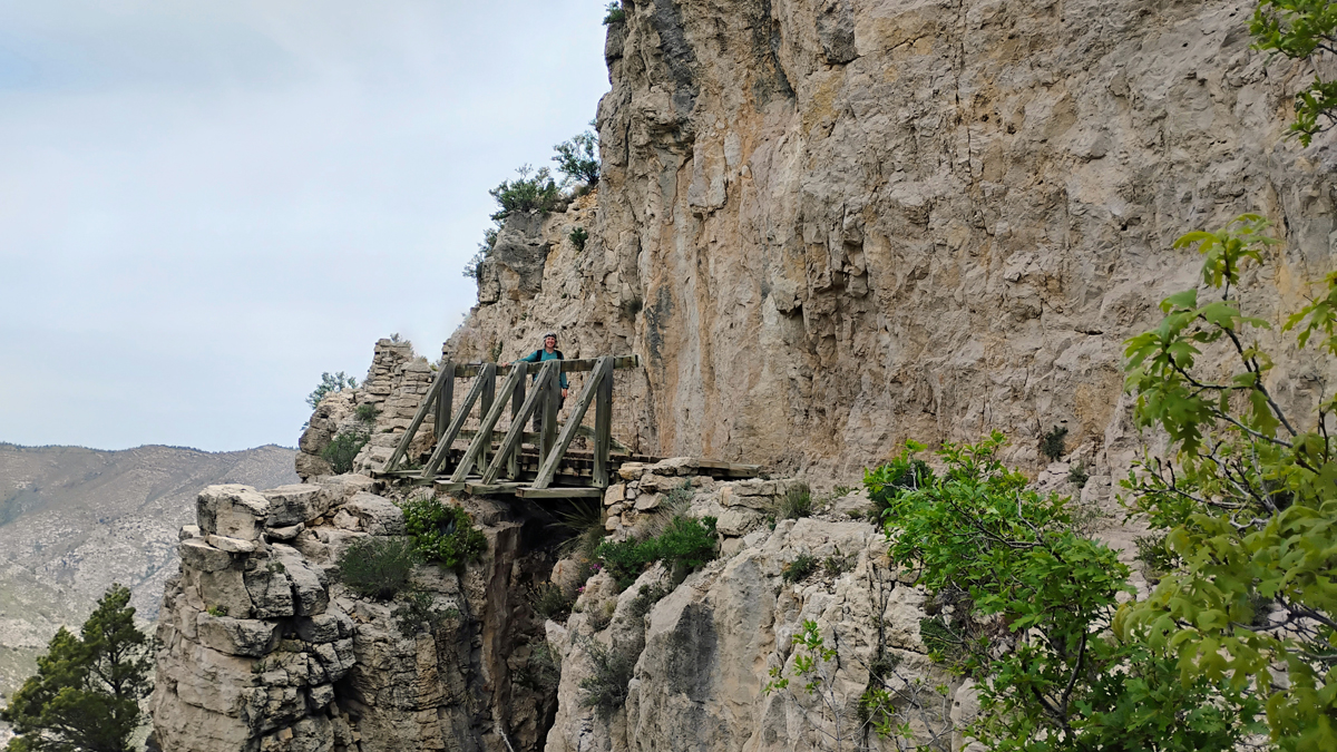
Jana on the wooden bridge
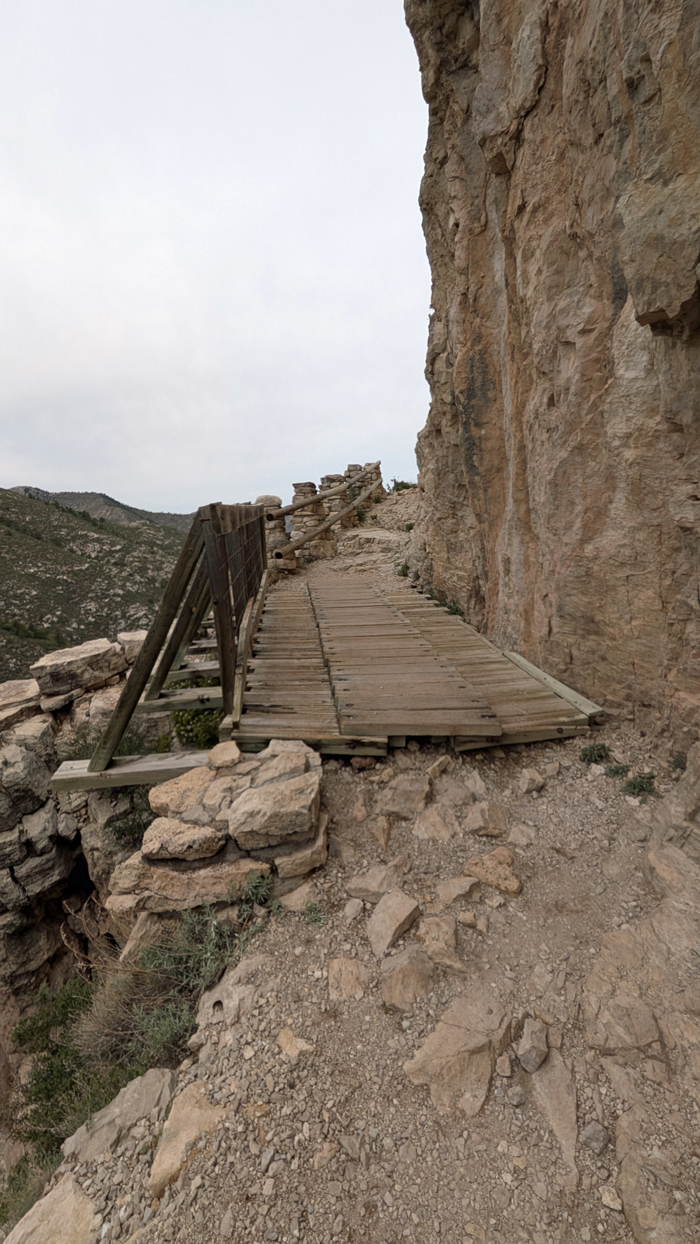
Crossing the bridge
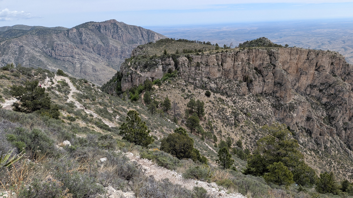
From high on the trail
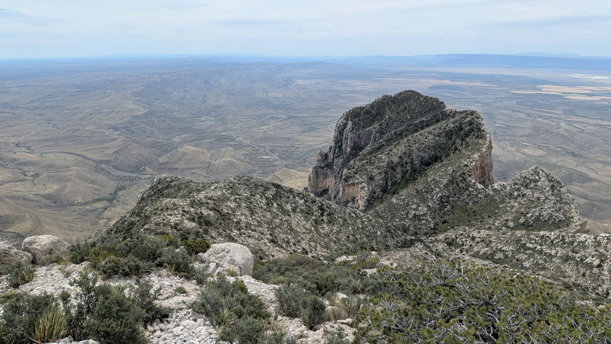
Above El Capitan
In lieu of a survey marker, the top of Texas is marked with a strange steel pyramid. The monument was donated by American Airlines in 1958 to commemorate the first transcontinental overland and airmail carriers, as a stagecoach route that passed just south of Guadalupe Peak played a crucial role in early American mail delivery. Annoyingly, the pyramid mentions nothing about the elevation of Guadalupe Peak or its being the highest point in Texas. What the...
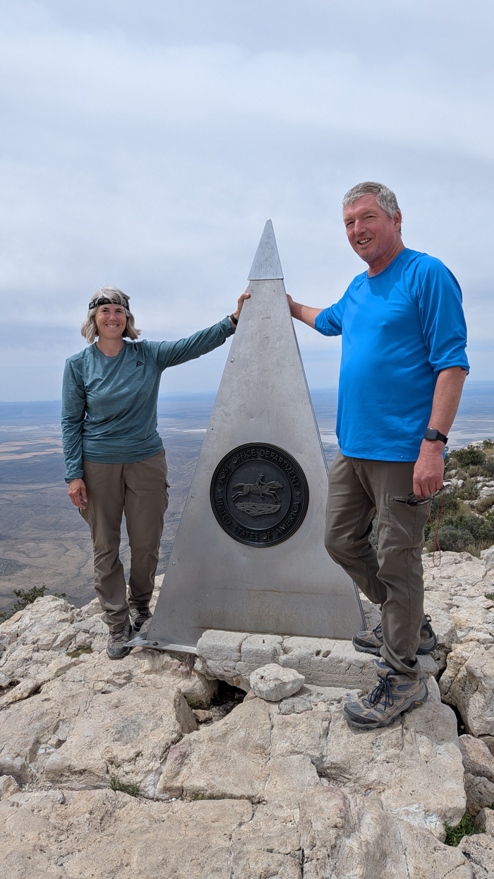
Jana and Tom on top of Texas
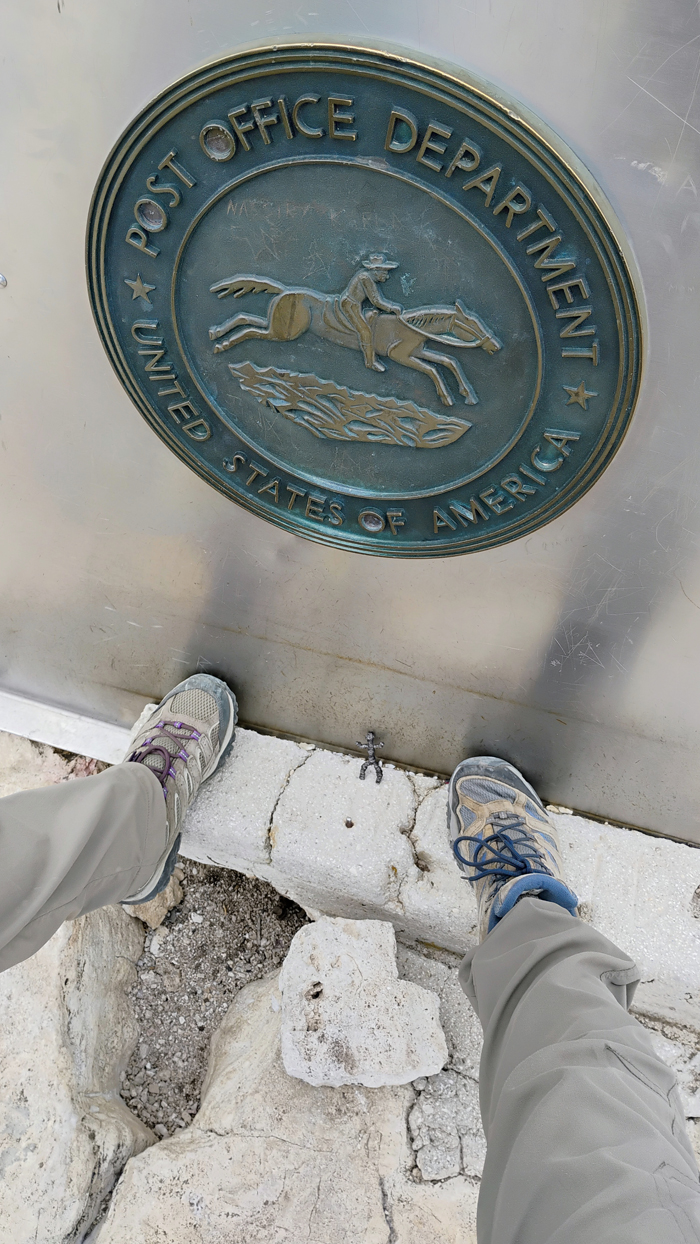
Guadalupe Peak, TX, 8,751 feet
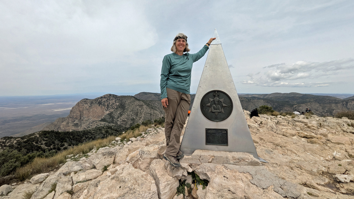
Highest person in Texas
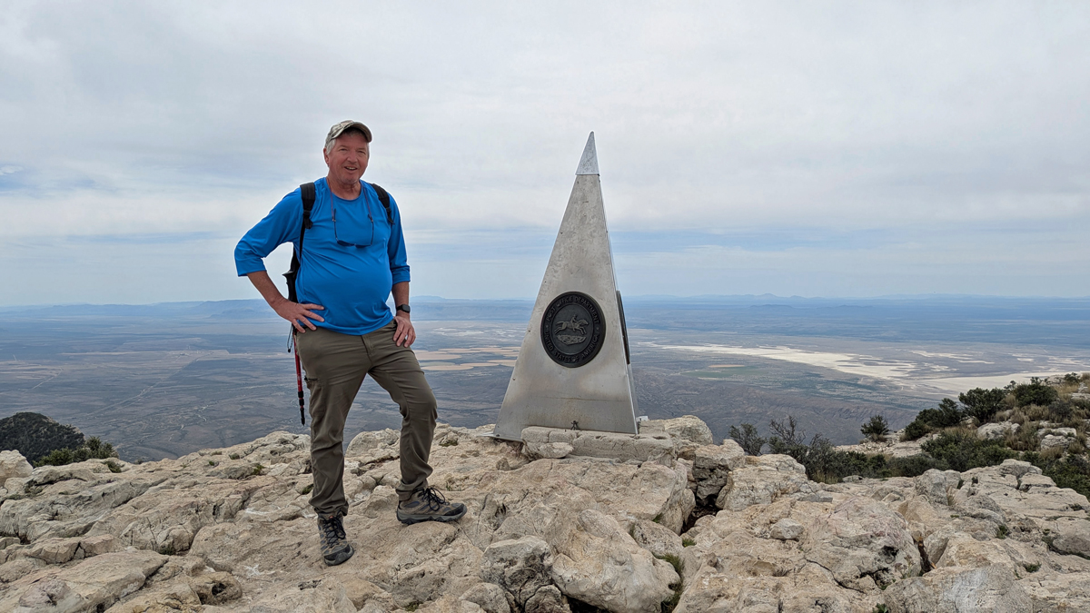
Tom on top
We spent an hour topside, eating lunch and taking photos. The weather was amazing, 50 to 70 degrees throughout the day, partly cloudy, and NO WIND. We couldn't have asked for a better day to do this. Before leaving the peak, we ran into a trail volunteer who'd brought up a flag containing the important high-point info that the monument neglects to mention.
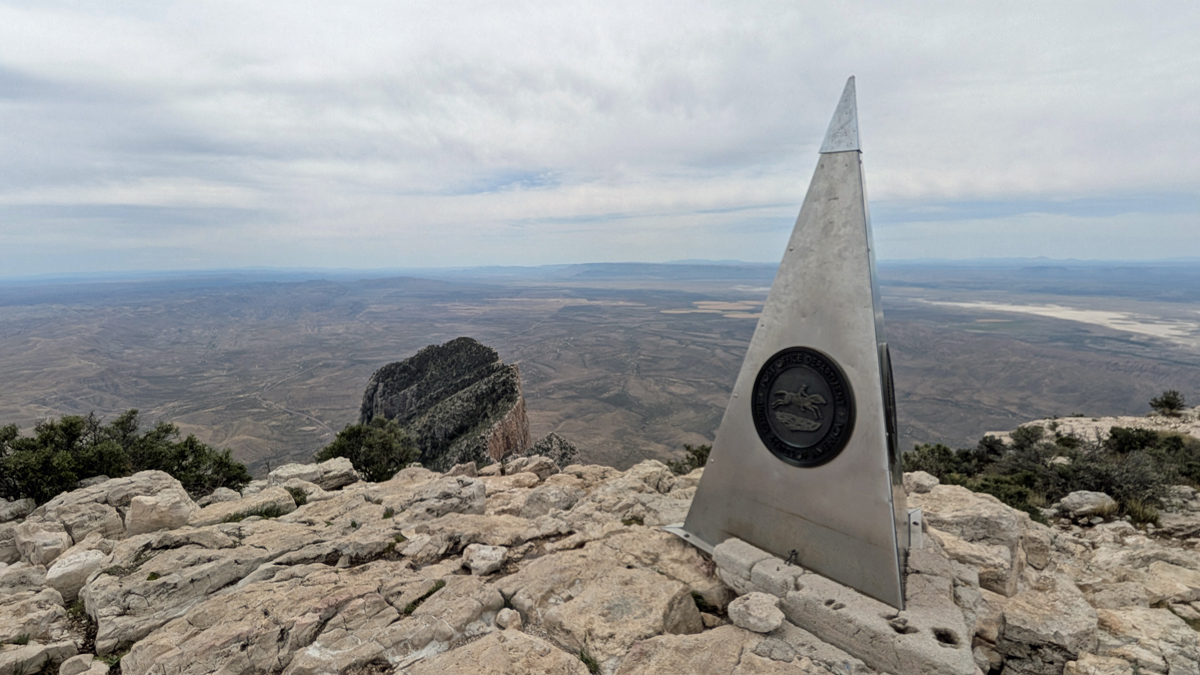
What a view!
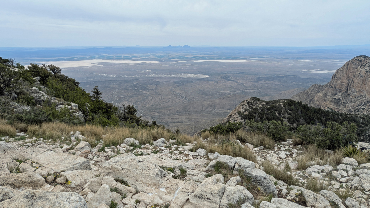
Chihuahuan Desert
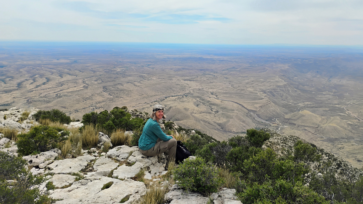
Great place for a picnic
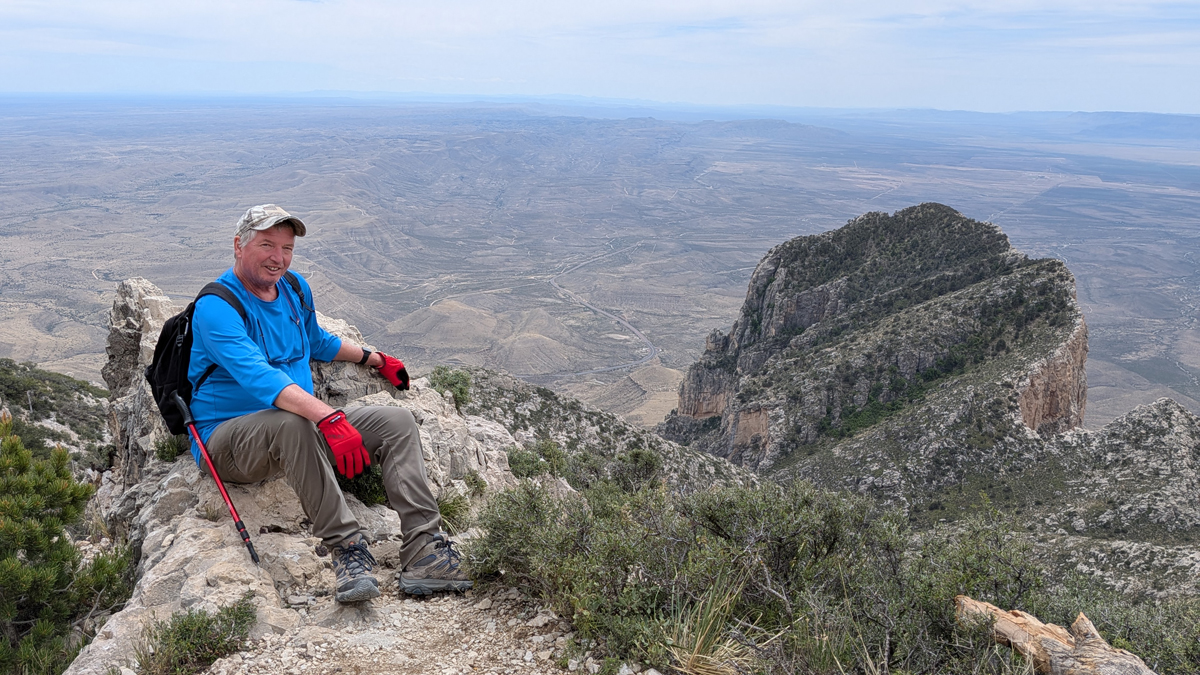
Tom and El Capitan
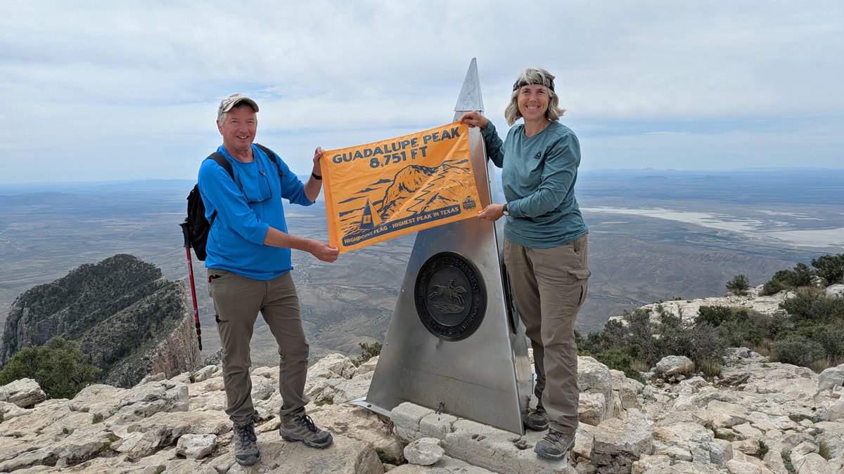
One more at the top of Texas!
The ascent of Guadalupe Peak was fairly brutal, but the descent was so much worse – hard on my knees and hard on Tom's whole body. We were sore for days. This was not our toughest high point – that would be Maine's Mt. Katahdin – but it was definitely top three in difficulty. It took us seven hours and 45 minutes to hike 8.5 miles. Guadalupe Peak, TX, was our 37th state high point, challenging but rewarding!
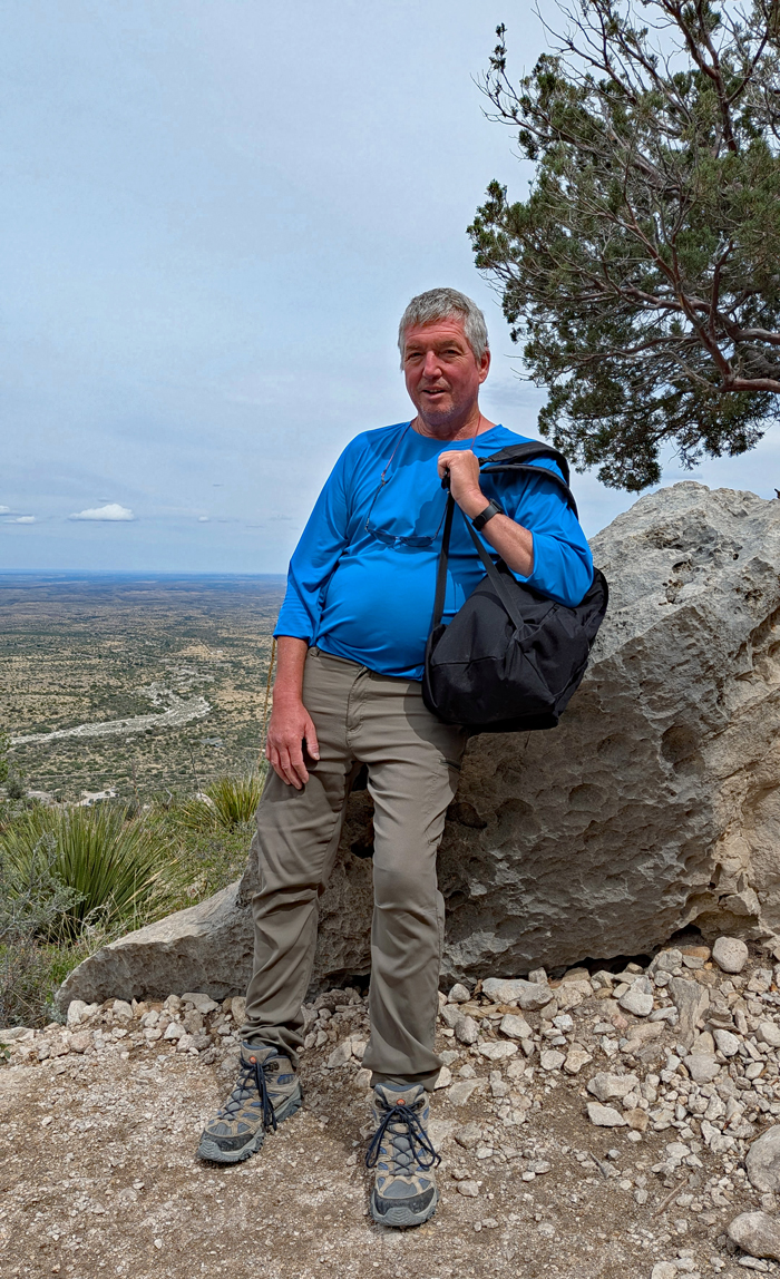
Short rest on the way down
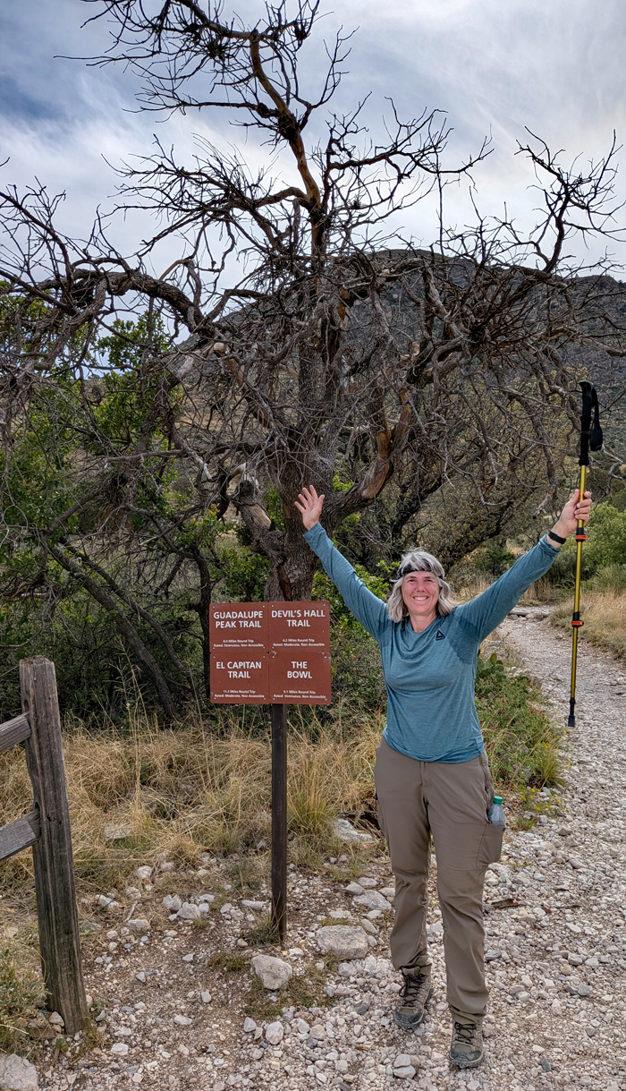
Round trip accomplished!
Returning to Whites City, we had just enough energy left to visit the small settlement's quirky gift shop. There was nothing worth purchasing, but it was a hoot to look around. For dinner, we warmed up cans of chili mac in our room. Perfect.
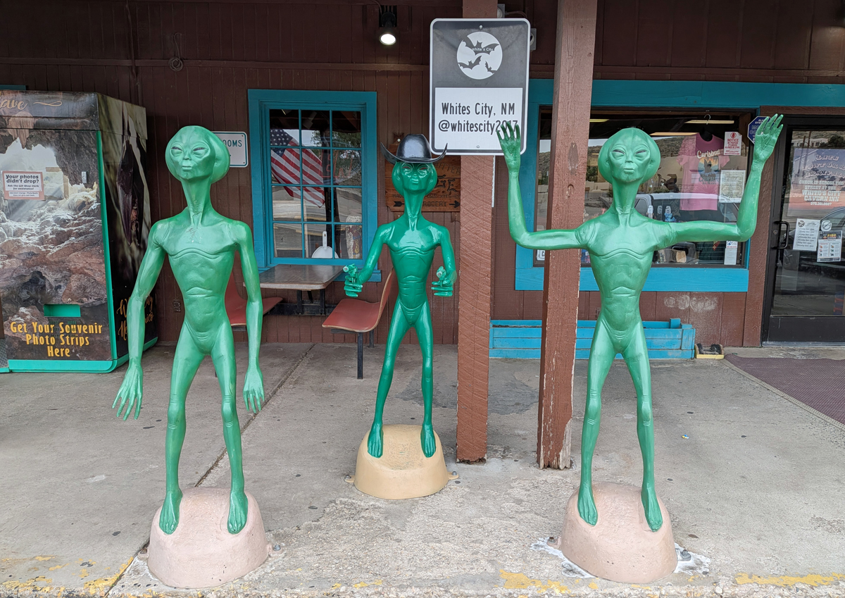
Whites City Gift Shop
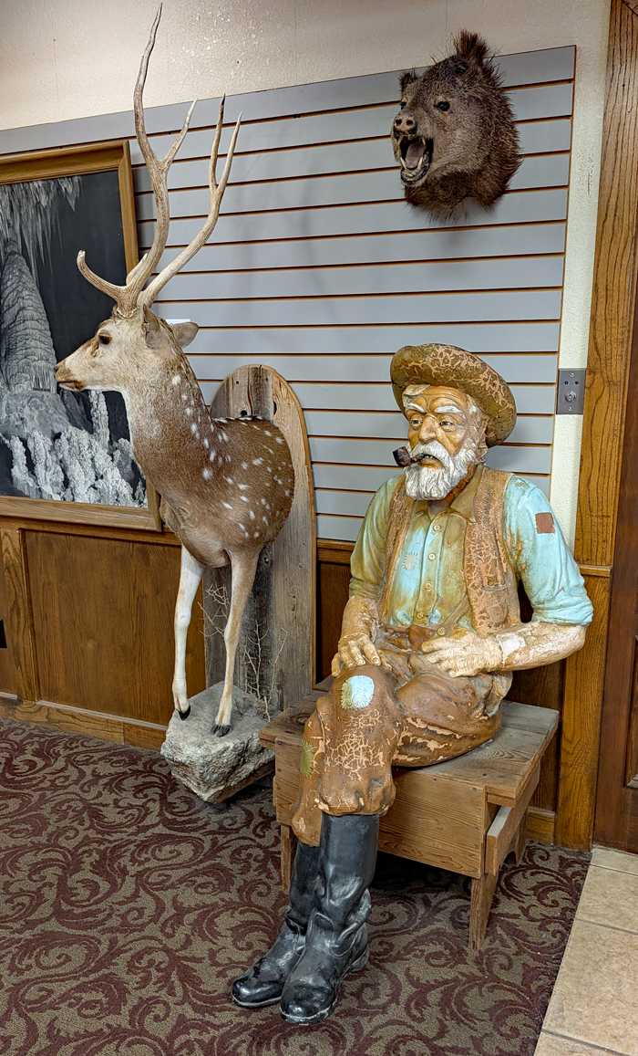
Old-timer sittin' a spell
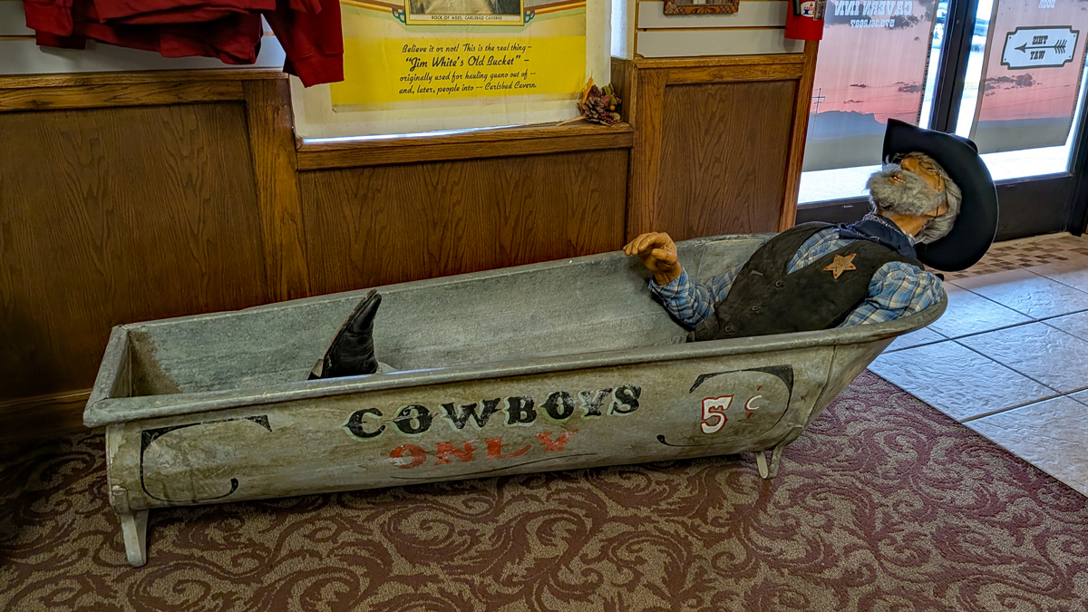
5¢ a bath